Click-em-Inn farm
Introduction
The photograph on this page of Click-em-Inn farm by Robert Graham as part of the Geograph project.
The Geograph project started in 2005 with the aim of publishing, organising and preserving representative images for every square kilometre of Great Britain, Ireland and the Isle of Man.

There are currently over 7.5m images from over 14,400 individuals and you can help contribute to the project by visiting https://www.geograph.org.uk
Click-em-Inn farm
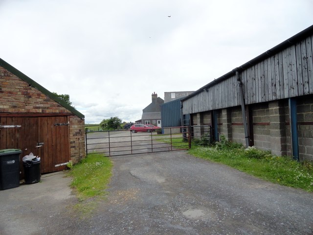
Image: © Robert Graham Taken: 7 Jul 2015
This farm stands beside a minor road west of the B6301, which follows the line of Dere Street south from Lanchester. The name is a bit of a mystery; I have been unable to find any explanation for it. The Inn part may be a bit misleading as I think it always was a farm, and on the O S map First Series of 1861 it's spelt "Clickemin".
Images are licensed for reuse under creativecommons.org/licenses/by-sa/2.0
Image Location
Latitude
54.791975
Longitude
-1.745695