The Firth of Clyde from the air
Introduction
The photograph on this page of The Firth of Clyde from the air by Thomas Nugent as part of the Geograph project.
The Geograph project started in 2005 with the aim of publishing, organising and preserving representative images for every square kilometre of Great Britain, Ireland and the Isle of Man.

There are currently over 7.5m images from over 14,400 individuals and you can help contribute to the project by visiting https://www.geograph.org.uk
The Firth of Clyde from the air
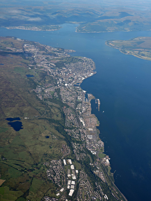
Image: © Thomas Nugent Taken: 14 Sep 2015
Port Glasgow is in the foreground, with Greenock and Gourock beyond. Dunoon is visible to the left of Holy Loch. The entrance to Loch Long and the tip of the Rosneath peninsula are in the top right corner.
Images are licensed for reuse under creativecommons.org/licenses/by-sa/2.0
Image Location
Latitude
55.925664
Longitude
-4.666388