Studham sewage works road
Introduction
The photograph on this page of Studham sewage works road by Robin Webster as part of the Geograph project.
The Geograph project started in 2005 with the aim of publishing, organising and preserving representative images for every square kilometre of Great Britain, Ireland and the Isle of Man.

There are currently over 7.5m images from over 14,400 individuals and you can help contribute to the project by visiting https://www.geograph.org.uk
Studham sewage works road
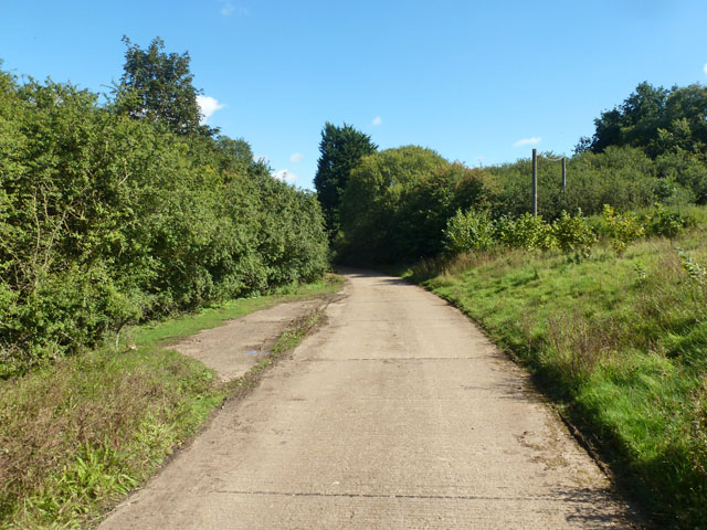
Image: © Robin Webster Taken: 19 Sep 2015
The access route to Studham sewage works runs along the northern edge of the open part of Studham Common. To the left is a belt of densely wooded common land.
Images are licensed for reuse under creativecommons.org/licenses/by-sa/2.0
Image Location
Latitude
51.831141
Longitude
-0.506093