Gate on the Path to Staunton Harold Church
Introduction
The photograph on this page of Gate on the Path to Staunton Harold Church by David Dixon as part of the Geograph project.
The Geograph project started in 2005 with the aim of publishing, organising and preserving representative images for every square kilometre of Great Britain, Ireland and the Isle of Man.

There are currently over 7.5m images from over 14,400 individuals and you can help contribute to the project by visiting https://www.geograph.org.uk
Gate on the Path to Staunton Harold Church
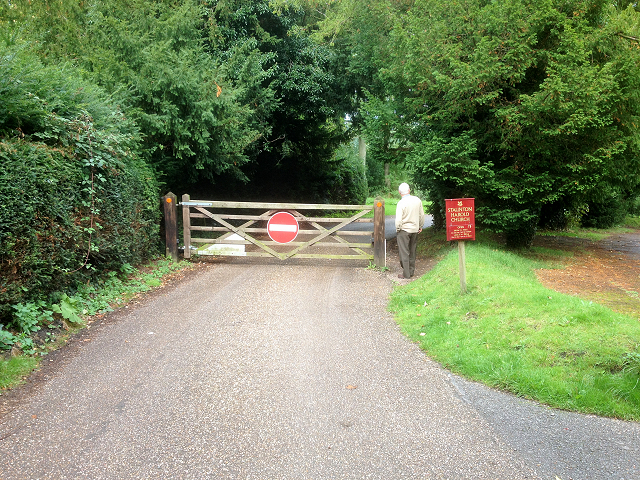
Image: © David Dixon Taken: 15 Sep 2015
Staunton Harold is a small hamlet originally built by the Shirley Family, Earls Ferrers. It lies in the heart of The National Forest, about 3 miles north of Ashby-de-la-Zouch in Leicestershire. It is on the county boundary with Derbyshire and about 9 miles south of Derby. The 2011 Census recorded the population of Staunton Harold as 141 (http://goo.gl/NaCk5G Office for National Statistics).
Images are licensed for reuse under creativecommons.org/licenses/by-sa/2.0
Image Location
Latitude
52.785164
Longitude
-1.439944