Drymen and The Trossachs from the air
Introduction
The photograph on this page of Drymen and The Trossachs from the air by Thomas Nugent as part of the Geograph project.
The Geograph project started in 2005 with the aim of publishing, organising and preserving representative images for every square kilometre of Great Britain, Ireland and the Isle of Man.

There are currently over 7.5m images from over 14,400 individuals and you can help contribute to the project by visiting https://www.geograph.org.uk
Drymen and The Trossachs from the air
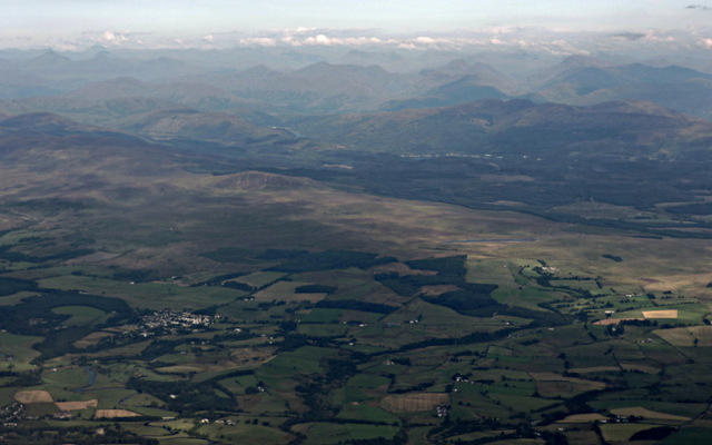
Image: © Thomas Nugent Taken: 14 Sep 2015
Drymen is on the left where a short section of Endrick Water can also be seen. Slivers of Loch Chon and Loch Ard are visible, with Ben Venue and The Trossachs beyond.
Images are licensed for reuse under creativecommons.org/licenses/by-sa/2.0
Image Location
Latitude
56.056613
Longitude
-4.418417