Tanrallt
Introduction
The photograph on this page of Tanrallt by Alan Fryer as part of the Geograph project.
The Geograph project started in 2005 with the aim of publishing, organising and preserving representative images for every square kilometre of Great Britain, Ireland and the Isle of Man.

There are currently over 7.5m images from over 14,400 individuals and you can help contribute to the project by visiting https://www.geograph.org.uk
Tanrallt
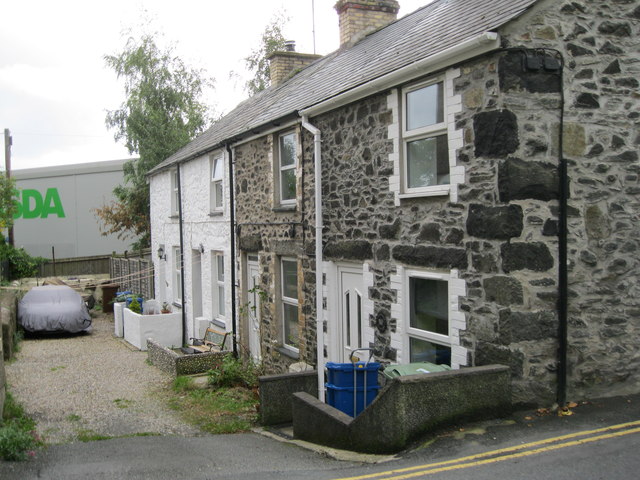
Image: © Alan Fryer Taken: 18 Sep 2015
A short terrace off Pentre Poeth/North Street on the edge of what was, in the early days of the town, the pwll heli or salt-water pool. Now convenient for Asda!
Images are licensed for reuse under creativecommons.org/licenses/by-sa/2.0
Image Location
Latitude
52.890824
Longitude
-4.415526