Quarry House Farm
Introduction
The photograph on this page of Quarry House Farm by Robert Graham as part of the Geograph project.
The Geograph project started in 2005 with the aim of publishing, organising and preserving representative images for every square kilometre of Great Britain, Ireland and the Isle of Man.

There are currently over 7.5m images from over 14,400 individuals and you can help contribute to the project by visiting https://www.geograph.org.uk
Quarry House Farm
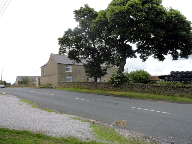
Image: © Robert Graham Taken: 7 Jul 2015
Old farm in the little hamlet of Wilk's Hill. The farmhouse here is probably the one shown on the 1861 Ordnance Survey map.
Images are licensed for reuse under creativecommons.org/licenses/by-sa/2.0
Image Location
Latitude
54.790151
Longitude
-1.733421