Low Bentham and Ingleborough
Introduction
The photograph on this page of Low Bentham and Ingleborough by Karl and Ali as part of the Geograph project.
The Geograph project started in 2005 with the aim of publishing, organising and preserving representative images for every square kilometre of Great Britain, Ireland and the Isle of Man.

There are currently over 7.5m images from over 14,400 individuals and you can help contribute to the project by visiting https://www.geograph.org.uk
Low Bentham and Ingleborough
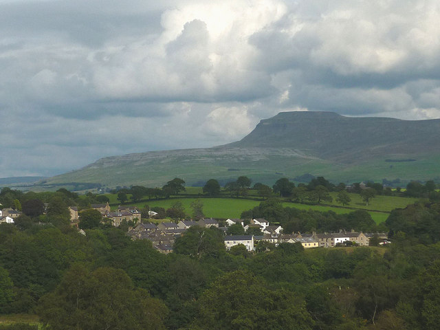
Image: © Karl and Ali Taken: 13 Sep 2015
A zoom shot from high ground south west of the village.
Images are licensed for reuse under creativecommons.org/licenses/by-sa/2.0
Image Location
Latitude
54.119083
Longitude
-2.53757