Chwarae Da
Introduction
The photograph on this page of Chwarae Da by Bill Nicholls as part of the Geograph project.
The Geograph project started in 2005 with the aim of publishing, organising and preserving representative images for every square kilometre of Great Britain, Ireland and the Isle of Man.

There are currently over 7.5m images from over 14,400 individuals and you can help contribute to the project by visiting https://www.geograph.org.uk
Chwarae Da
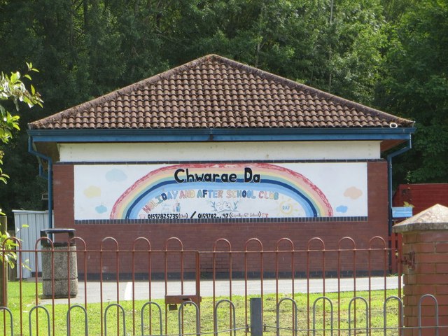
Image: © Bill Nicholls Taken: 15 Aug 2015
Think this is a nursery at the school here along Spa Road East in Llandrindod Wells
Images are licensed for reuse under creativecommons.org/licenses/by-sa/2.0
Image Location
Latitude
52.239652
Longitude
-3.372171