Cattlegate Road looking towards Crews Hill station
Introduction
The photograph on this page of Cattlegate Road looking towards Crews Hill station by Marathon as part of the Geograph project.
The Geograph project started in 2005 with the aim of publishing, organising and preserving representative images for every square kilometre of Great Britain, Ireland and the Isle of Man.

There are currently over 7.5m images from over 14,400 individuals and you can help contribute to the project by visiting https://www.geograph.org.uk
Cattlegate Road looking towards Crews Hill station
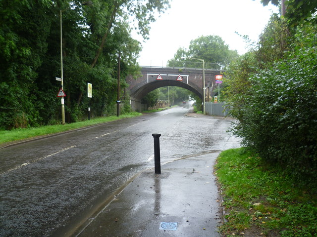
Image: © Marathon Taken: 16 Sep 2015
The Alexandra Palace-Hertford-Stevenage loop was built mainly as a by-pass for the approaches to King's Cross on the main line from Hatfield and was built to main line standards for much of its length. However, it has never carried regular long-distance passenger services and has always primarily been a suburban branch, apart from when there is engineering work or other disruption on the East Coast Main Line through Hatfield. The line was opened as far as Enfield, which was then the terminus, on 1st April 1871. The line was extended to Cuffley from 4th April 1910 and on to Stevenage for freight on 4th March 1918, but passenger trains only started beyond Cuffley on 2nd June 1924. North of Gordon Hill the line was laid across undulating countryside, its stations seeing only golfers and walkers. Crews Hill station opened with the line between Enfield and Cuffley on 4th April 1910 but only served a golf course, a few nurserymen’s greenhouses and a stud farm. The goods yard at Crews Hill was closed on 1st October 1962. The present entrance to Crews Hill station is up the road to the right. This was a thoroughly wet and miserable day from beginning to end.
Images are licensed for reuse under creativecommons.org/licenses/by-sa/2.0
Image Location
Latitude
51.683846
Longitude
-0.106335