The farmyard at Square House
Introduction
The photograph on this page of The farmyard at Square House by Robert Graham as part of the Geograph project.
The Geograph project started in 2005 with the aim of publishing, organising and preserving representative images for every square kilometre of Great Britain, Ireland and the Isle of Man.

There are currently over 7.5m images from over 14,400 individuals and you can help contribute to the project by visiting https://www.geograph.org.uk
The farmyard at Square House
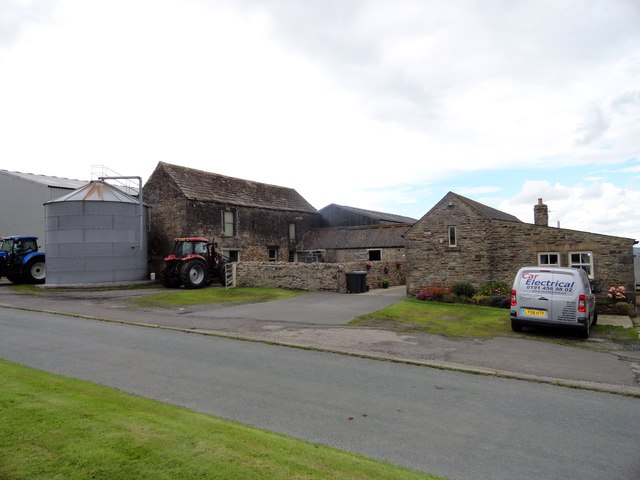
Image: © Robert Graham Taken: 7 Jul 2015
A view of a nice collection of surviving old farm buildings here, at this farm on the B6301, the old Roman Dere Street. The two storey building at centre left was probably a byer with a hay barn above; a typical early C19 type.
Images are licensed for reuse under creativecommons.org/licenses/by-sa/2.0
Image Location
Latitude
54.799433
Longitude
-1.745337