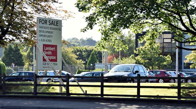
"For sale" sign, Rosepark House, Belfast (September 2015)
Introduction
The photograph on this page of "For sale" sign, Rosepark House, Belfast (September 2015) by Albert Bridge as part of the Geograph project.
The Geograph project started in 2005 with the aim of publishing, organising and preserving representative images for every square kilometre of Great Britain, Ireland and the Isle of Man.
There are currently over 7.5m images from over 14,400 individuals and you can help contribute to the project by visiting https://www.geograph.org.uk

Image: © Albert Bridge Taken: 16 Sep 2015
See Image A “for sale” sign facing the Upper Newtownards Road. The agents’ description includes “Offers invited in the region of £2,000,000 . . . . . . The site is bound by medium density residential housing to the South, East and West. A Maxol petrol filling station and Spar convenience store are located immediately adjacent to the site, also fronting Upper Newtownards Road. A two storey office building is situated in the middle of the site incorporating c.7,951 sq ft of accommodation.” This photograph appears as a matter of record only. I have no connection with the agents and cannot enter into correspondence.

