Cumberland Road
Introduction
The photograph on this page of Cumberland Road by Thomas Nugent as part of the Geograph project.
The Geograph project started in 2005 with the aim of publishing, organising and preserving representative images for every square kilometre of Great Britain, Ireland and the Isle of Man.

There are currently over 7.5m images from over 14,400 individuals and you can help contribute to the project by visiting https://www.geograph.org.uk
Cumberland Road
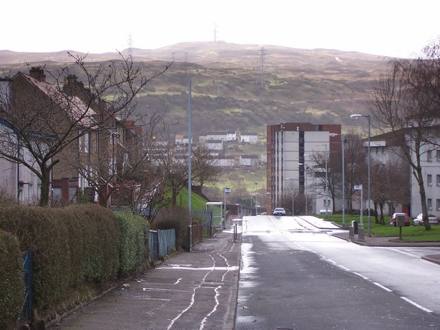
Image: © Thomas Nugent Taken: 4 May 2007
Looking towards the soon to be demolished Cumberland Court with Branchton housing scheme and the communications mast on Scroggy Bank beyond. See Image for a view of Cumberland Road from Greenock Cut which is on the hill in the distance.
Images are licensed for reuse under creativecommons.org/licenses/by-sa/2.0
Image Location


Leaflet Map data © OpenStreetMap
Latitude
55.940264
Longitude
-4.814095