Higgs Lane, Bagshot
Introduction
The photograph on this page of Higgs Lane, Bagshot by Alan Hunt as part of the Geograph project.
The Geograph project started in 2005 with the aim of publishing, organising and preserving representative images for every square kilometre of Great Britain, Ireland and the Isle of Man.

There are currently over 7.5m images from over 14,400 individuals and you can help contribute to the project by visiting https://www.geograph.org.uk
Higgs Lane, Bagshot
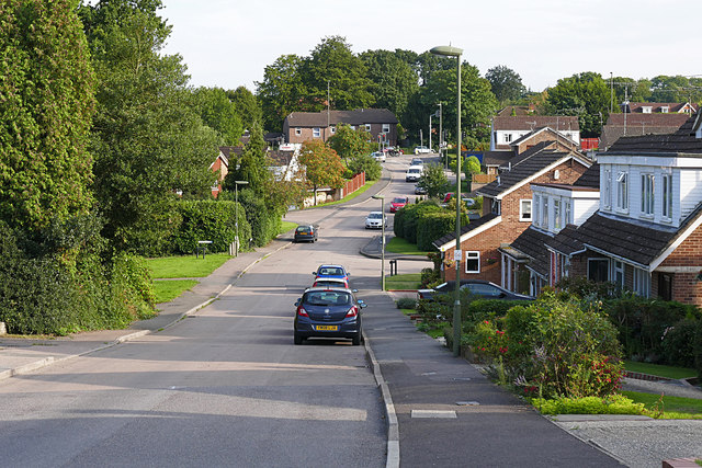
Image: © Alan Hunt Taken: 11 Sep 2015
This road is very confusing as it looks like one road but changes from Higgs Lane at the top end to Yaverland Drive from the junction in the dip. Yaverland Drive diverts off to the right while Higgs Lane goes off to the left as a walkway.
Images are licensed for reuse under creativecommons.org/licenses/by-sa/2.0
Image Location
Latitude
51.359116
Longitude
-0.699311