Rosehall Trails information shelter
Introduction
The photograph on this page of Rosehall Trails information shelter by M J Richardson as part of the Geograph project.
The Geograph project started in 2005 with the aim of publishing, organising and preserving representative images for every square kilometre of Great Britain, Ireland and the Isle of Man.

There are currently over 7.5m images from over 14,400 individuals and you can help contribute to the project by visiting https://www.geograph.org.uk
Rosehall Trails information shelter
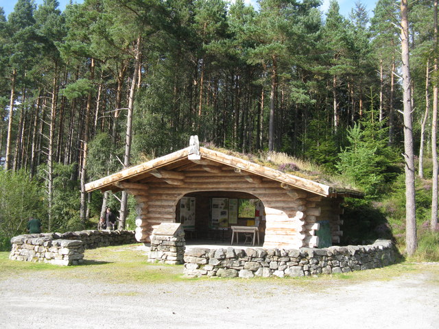
Image: © M J Richardson Taken: 11 Sep 2015
At the car park on the A837, which gives access to five woodland trails.
Images are licensed for reuse under creativecommons.org/licenses/by-sa/2.0
Image Location
Latitude
57.980455
Longitude
-4.572938