Siding Lane
Introduction
The photograph on this page of Siding Lane by Gary Rogers as part of the Geograph project.
The Geograph project started in 2005 with the aim of publishing, organising and preserving representative images for every square kilometre of Great Britain, Ireland and the Isle of Man.

There are currently over 7.5m images from over 14,400 individuals and you can help contribute to the project by visiting https://www.geograph.org.uk
Siding Lane
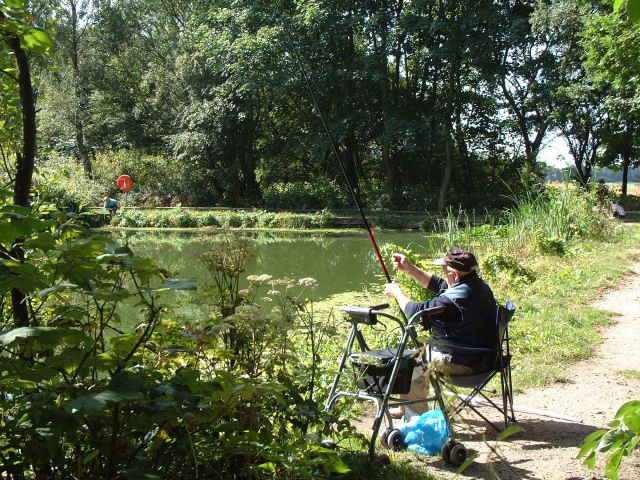
Image: © Gary Rogers Taken: 30 Aug 2005
Nature reserve on Siding Lane off the A570 Rainford Bypass, on the site of what was Rainford Colliery. see info board for more details
Images are licensed for reuse under creativecommons.org/licenses/by-sa/2.0
Image Location
Latitude
53.511549
Longitude
-2.813644