Grassy field on Hunger Hill
Introduction
The photograph on this page of Grassy field on Hunger Hill by Bill Boaden as part of the Geograph project.
The Geograph project started in 2005 with the aim of publishing, organising and preserving representative images for every square kilometre of Great Britain, Ireland and the Isle of Man.

There are currently over 7.5m images from over 14,400 individuals and you can help contribute to the project by visiting https://www.geograph.org.uk
Grassy field on Hunger Hill
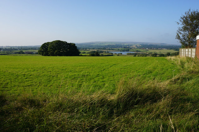
Image: © Bill Boaden Taken: 8 Sep 2015
The slope leads down to Rumworth Lodge Reservoir with Winter Hill on the skyline.
Images are licensed for reuse under creativecommons.org/licenses/by-sa/2.0
Image Location
Latitude
53.559709
Longitude
-2.486367