Fields for horses by Snydale Hall Farm
Introduction
The photograph on this page of Fields for horses by Snydale Hall Farm by Bill Boaden as part of the Geograph project.
The Geograph project started in 2005 with the aim of publishing, organising and preserving representative images for every square kilometre of Great Britain, Ireland and the Isle of Man.

There are currently over 7.5m images from over 14,400 individuals and you can help contribute to the project by visiting https://www.geograph.org.uk
Fields for horses by Snydale Hall Farm
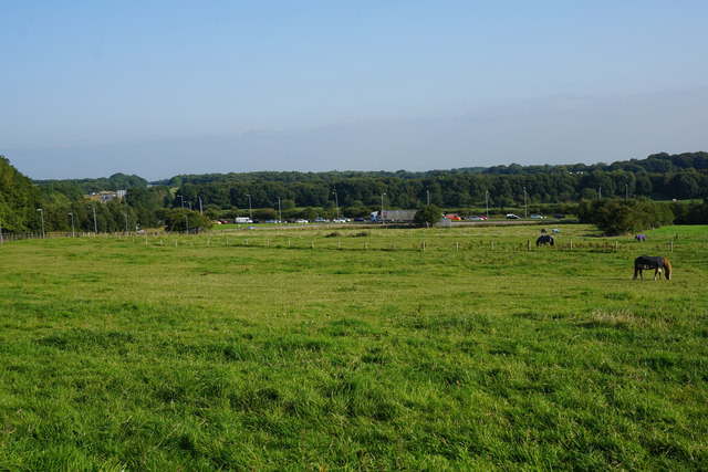
Image: © Bill Boaden Taken: 8 Sep 2015
At the bottom of the slope, there is standing traffic on the A58 on the stretch between the M61 and the A6.
Images are licensed for reuse under creativecommons.org/licenses/by-sa/2.0
Image Location
Latitude
53.555634
Longitude
-2.493717