Top of the fish ladder, Pitlochry
Introduction
The photograph on this page of Top of the fish ladder, Pitlochry by Jim Barton as part of the Geograph project.
The Geograph project started in 2005 with the aim of publishing, organising and preserving representative images for every square kilometre of Great Britain, Ireland and the Isle of Man.

There are currently over 7.5m images from over 14,400 individuals and you can help contribute to the project by visiting https://www.geograph.org.uk
Top of the fish ladder, Pitlochry
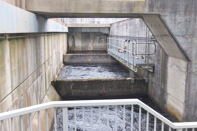
Image: © Jim Barton Taken: 8 Sep 2015
The ladder allows fish to bypass the hydroelectric power station between Loch Faskally and the River Tummel downstream.
Images are licensed for reuse under creativecommons.org/licenses/by-sa/2.0
Image Location
Latitude
56.699104
Longitude
-3.74064