Barton Hill Road
Introduction
The photograph on this page of Barton Hill Road by Richard Dorrell as part of the Geograph project.
The Geograph project started in 2005 with the aim of publishing, organising and preserving representative images for every square kilometre of Great Britain, Ireland and the Isle of Man.

There are currently over 7.5m images from over 14,400 individuals and you can help contribute to the project by visiting https://www.geograph.org.uk
Barton Hill Road
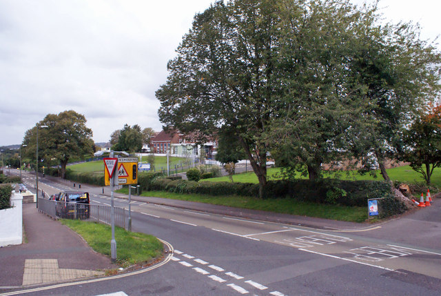
Image: © Richard Dorrell Taken: 13 Sep 2015
Looking south. The large primary school - Barton Hill Academy - is just visible on the right. The junction in the foreground is with Clennon Lane.
Images are licensed for reuse under creativecommons.org/licenses/by-sa/2.0
Image Location


Leaflet Map data © OpenStreetMap
Latitude
50.489636
Longitude
-3.540327