St George's Road Methodist south facade, Truro
Introduction
The photograph on this page of St George's Road Methodist south facade, Truro by Elaine Hamby as part of the Geograph project.
The Geograph project started in 2005 with the aim of publishing, organising and preserving representative images for every square kilometre of Great Britain, Ireland and the Isle of Man.

There are currently over 7.5m images from over 14,400 individuals and you can help contribute to the project by visiting https://www.geograph.org.uk
St George's Road Methodist south facade, Truro
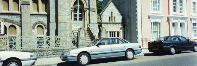
Image: © Elaine Hamby Taken: Unknown
This picture panoramically overlaps on the left with my photo of St George's Methodist with the viaduct, and on the right with my photo of St George's Road South. This is part of a four image composite panorama of the east side of St George's Road, Truro. Photographer at SW821449.
Images are licensed for reuse under creativecommons.org/licenses/by-sa/2.0
Image Location


Leaflet Map data © OpenStreetMap
Latitude
50.264064
Longitude
-5.058329