Queensway to Lytham St Annes
Introduction
The photograph on this page of Queensway to Lytham St Annes by Steve Daniels as part of the Geograph project.
The Geograph project started in 2005 with the aim of publishing, organising and preserving representative images for every square kilometre of Great Britain, Ireland and the Isle of Man.

There are currently over 7.5m images from over 14,400 individuals and you can help contribute to the project by visiting https://www.geograph.org.uk
Queensway to Lytham St Annes
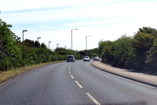
Image: © Steve Daniels Taken: 18 Jun 2015
The road runs round the perimeter of Blackpool Airport.
Images are licensed for reuse under creativecommons.org/licenses/by-sa/2.0
Image Location


Leaflet Map data © OpenStreetMap
Latitude
53.769748
Longitude
-3.007979