Southeast entrance to the former Ham Mill site, Thrupp
Introduction
The photograph on this page of Southeast entrance to the former Ham Mill site, Thrupp by Jaggery as part of the Geograph project.
The Geograph project started in 2005 with the aim of publishing, organising and preserving representative images for every square kilometre of Great Britain, Ireland and the Isle of Man.

There are currently over 7.5m images from over 14,400 individuals and you can help contribute to the project by visiting https://www.geograph.org.uk
Southeast entrance to the former Ham Mill site, Thrupp
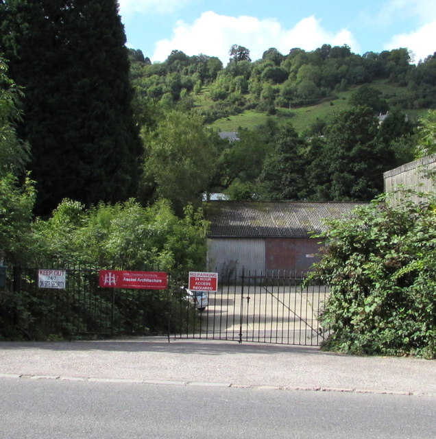
Image: © Jaggery Taken: 6 Sep 2015
From the A419 London Road. The name on the red banner is Assael Architecture who are working with Stroud Corporation and CgMs Consulting on planning proposals for this former mill site to secure its appropriate regeneration and reuse.
Images are licensed for reuse under creativecommons.org/licenses/by-sa/2.0
Image Location
Latitude
51.726894
Longitude
-2.201778