Junction of B5500 and Pear Tree Lane
Introduction
The photograph on this page of Junction of B5500 and Pear Tree Lane by Steve Lewin as part of the Geograph project.
The Geograph project started in 2005 with the aim of publishing, organising and preserving representative images for every square kilometre of Great Britain, Ireland and the Isle of Man.

There are currently over 7.5m images from over 14,400 individuals and you can help contribute to the project by visiting https://www.geograph.org.uk
Junction of B5500 and Pear Tree Lane
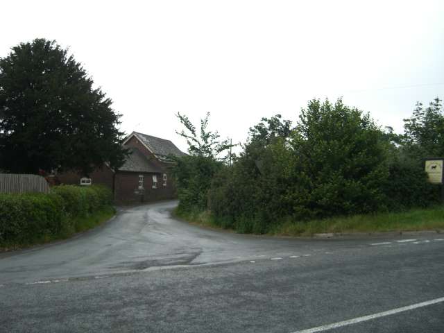
Image: © Steve Lewin Taken: 13 Jun 2007
The building is part of the Pear Tree Lake Farm equestrian centre.
Images are licensed for reuse under creativecommons.org/licenses/by-sa/2.0
Image Location
Latitude
53.051379
Longitude
-2.364707