Start of the Rob Roy Way, Drymen
Introduction
The photograph on this page of Start of the Rob Roy Way, Drymen by Jim Barton as part of the Geograph project.
The Geograph project started in 2005 with the aim of publishing, organising and preserving representative images for every square kilometre of Great Britain, Ireland and the Isle of Man.

There are currently over 7.5m images from over 14,400 individuals and you can help contribute to the project by visiting https://www.geograph.org.uk
Start of the Rob Roy Way, Drymen
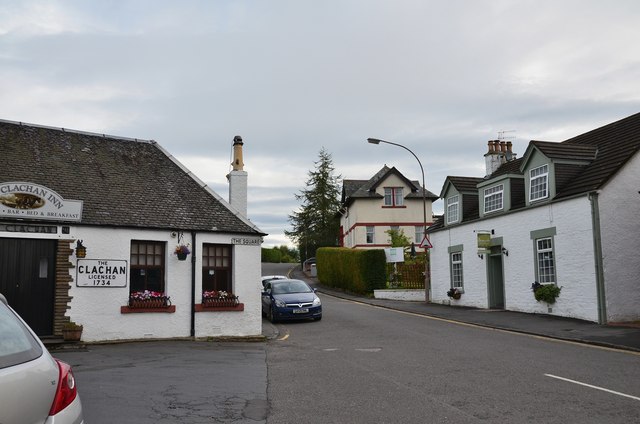
Image: © Jim Barton Taken: 1 Sep 2015
Start of the 79 mile route to Pitlochry, past the Clachan Inn and up the Old Gartmore Road on the first leg to Aberfoyle.
Images are licensed for reuse under creativecommons.org/licenses/by-sa/2.0
Image Location
Latitude
56.066094
Longitude
-4.45259