Tarvin High Street
Introduction
The photograph on this page of Tarvin High Street by David Dixon as part of the Geograph project.
The Geograph project started in 2005 with the aim of publishing, organising and preserving representative images for every square kilometre of Great Britain, Ireland and the Isle of Man.

There are currently over 7.5m images from over 14,400 individuals and you can help contribute to the project by visiting https://www.geograph.org.uk
Tarvin High Street
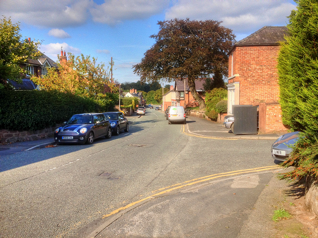
Image: © David Dixon Taken: 7 Sep 2015
Tarvin is a village approximately 6 miles east of Chester. It is located near the junction of the A51, towards Nantwich and Tarporley, and the A54, towards Northwich and on to Manchester. These two main trunk roads bypass the village centre on either side. The northerly A54 bypass was constructed in 1933, and the southerly A51 bypass in 1984. The population was recorded as 2,728 at the 2011 (http://goo.gl/k7TH9K Office for National Statistics).
Images are licensed for reuse under creativecommons.org/licenses/by-sa/2.0
Image Location
Latitude
53.198174
Longitude
-2.762638