Village Stocks
Introduction
The photograph on this page of Village Stocks by Sue Adair as part of the Geograph project.
The Geograph project started in 2005 with the aim of publishing, organising and preserving representative images for every square kilometre of Great Britain, Ireland and the Isle of Man.

There are currently over 7.5m images from over 14,400 individuals and you can help contribute to the project by visiting https://www.geograph.org.uk
Village Stocks
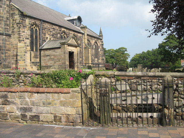
Image: © Sue Adair Taken: 8 Sep 2015
These old village stocks are sited adjacent to the church walls in St Cuthbert’s Road and were probably built by a John Linaker in 1741. It is said that they were last used in 1860 when they held a John Rimmer for drunkenness.
Images are licensed for reuse under creativecommons.org/licenses/by-sa/2.0
Image Location
Latitude
53.660106
Longitude
-2.962231