Harvested Fields on the Tarbat Peninsula
Introduction
The photograph on this page of Harvested Fields on the Tarbat Peninsula by Andrew Tryon as part of the Geograph project.
The Geograph project started in 2005 with the aim of publishing, organising and preserving representative images for every square kilometre of Great Britain, Ireland and the Isle of Man.

There are currently over 7.5m images from over 14,400 individuals and you can help contribute to the project by visiting https://www.geograph.org.uk
Harvested Fields on the Tarbat Peninsula
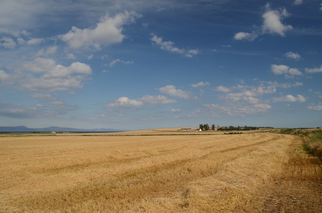
Image: © Andrew Tryon Taken: 11 Sep 2015
Fields next to the B9165 road, just south of Portmahomack village on the Tarbat Peninsula, in Ross-shire on the east coast of Scotland. The dark blue hills on the left of the horizon are part of Sutherland, the next county north.
Images are licensed for reuse under creativecommons.org/licenses/by-sa/2.0
Image Location
Latitude
57.819343
Longitude
-3.845656