Canterbury Road heading east
Introduction
The photograph on this page of Canterbury Road heading east by Trevor Littlewood as part of the Geograph project.
The Geograph project started in 2005 with the aim of publishing, organising and preserving representative images for every square kilometre of Great Britain, Ireland and the Isle of Man.

There are currently over 7.5m images from over 14,400 individuals and you can help contribute to the project by visiting https://www.geograph.org.uk
Canterbury Road heading east
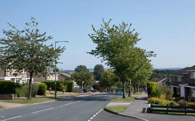
Image: © Trevor Littlewood Taken: 11 Sep 2015
Canterbury Road is one of the main roads to pass through the large residential area of Newton Hall which is on the north side of Durham City.
Images are licensed for reuse under creativecommons.org/licenses/by-sa/2.0
Image Location
Latitude
54.796151
Longitude
-1.569447