Unmade road to the south of Blackwaterfoot
Introduction
The photograph on this page of Unmade road to the south of Blackwaterfoot by John Lucas as part of the Geograph project.
The Geograph project started in 2005 with the aim of publishing, organising and preserving representative images for every square kilometre of Great Britain, Ireland and the Isle of Man.

There are currently over 7.5m images from over 14,400 individuals and you can help contribute to the project by visiting https://www.geograph.org.uk
Unmade road to the south of Blackwaterfoot
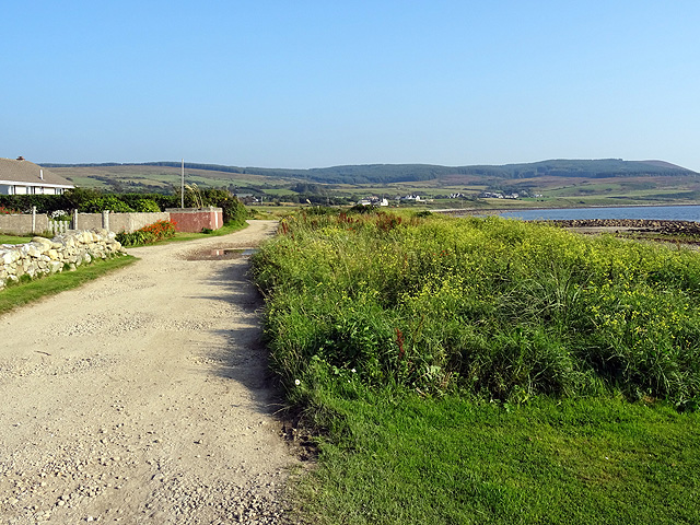
Image: © John Lucas Taken: 8 Sep 2015
Eilean Mòr is to the right. Some very desirable properties along this road, given their outlook across the sea.
Images are licensed for reuse under creativecommons.org/licenses/by-sa/2.0
Image Location
Latitude
55.500106
Longitude
-5.331693