Eunice Saunders Way
Introduction
The photograph on this page of Eunice Saunders Way by Stuart Wilding as part of the Geograph project.
The Geograph project started in 2005 with the aim of publishing, organising and preserving representative images for every square kilometre of Great Britain, Ireland and the Isle of Man.

There are currently over 7.5m images from over 14,400 individuals and you can help contribute to the project by visiting https://www.geograph.org.uk
Eunice Saunders Way
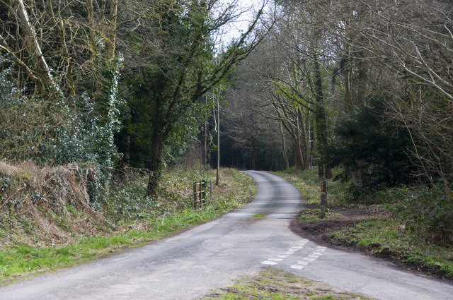
Image: © Stuart Wilding Taken: 4 Apr 2015
View of Eunice Saunders Way which runs to Bailey Lane End from Dancing Green. Named after the District Councillor for her service to the area. As well as the road, Eunice has also been awarded an MBE.
Images are licensed for reuse under creativecommons.org/licenses/by-sa/2.0
Image Location
Latitude
51.884732
Longitude
-2.532727