Can you see the path?
Introduction
The photograph on this page of Can you see the path? by Graham Hogg as part of the Geograph project.
The Geograph project started in 2005 with the aim of publishing, organising and preserving representative images for every square kilometre of Great Britain, Ireland and the Isle of Man.

There are currently over 7.5m images from over 14,400 individuals and you can help contribute to the project by visiting https://www.geograph.org.uk
Can you see the path?
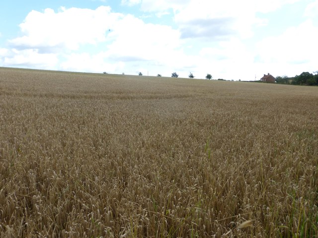
Image: © Graham Hogg Taken: 1 Sep 2015
The public footpath is shown heading across this field towards the trees on the skyline but there is no sign of it on the ground. Which, on today's experience, is not unusual in this part of Nottinghamshire where the footpaths appear to be little used and neglected.
Images are licensed for reuse under creativecommons.org/licenses/by-sa/2.0
Image Location
Latitude
53.31945
Longitude
-0.865527