Pasture by Smith's Rough
Introduction
The photograph on this page of Pasture by Smith's Rough by Espresso Addict as part of the Geograph project.
The Geograph project started in 2005 with the aim of publishing, organising and preserving representative images for every square kilometre of Great Britain, Ireland and the Isle of Man.

There are currently over 7.5m images from over 14,400 individuals and you can help contribute to the project by visiting https://www.geograph.org.uk
Pasture by Smith's Rough
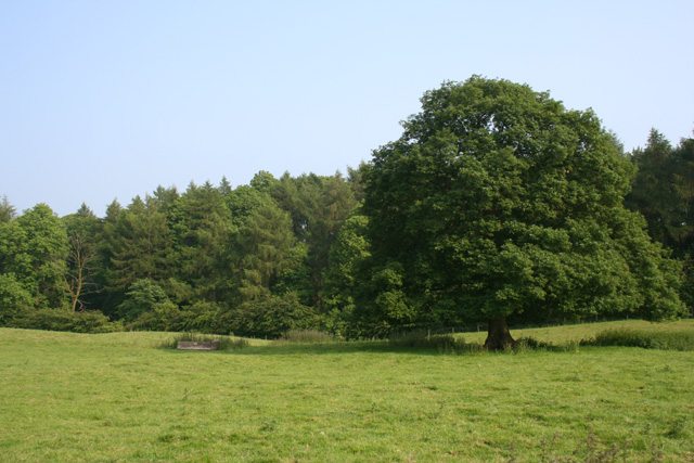
Image: © Espresso Addict Taken: 10 Jun 2007
Undulating sheep pasture with occasional mature deciduous trees, east of Burntwood Farm, by the plantation of Smith's Rough (background). View from the footpath from Ashley Heath and Hookgate
Images are licensed for reuse under creativecommons.org/licenses/by-sa/2.0
Image Location


Leaflet Map data © OpenStreetMap
Latitude
52.898568
Longitude
-2.390775