Hardy Memorial Playing Field, Franklands Village
Introduction
The photograph on this page of Hardy Memorial Playing Field, Franklands Village by Simon Carey as part of the Geograph project.
The Geograph project started in 2005 with the aim of publishing, organising and preserving representative images for every square kilometre of Great Britain, Ireland and the Isle of Man.

There are currently over 7.5m images from over 14,400 individuals and you can help contribute to the project by visiting https://www.geograph.org.uk
Hardy Memorial Playing Field, Franklands Village
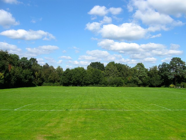
Image: © Simon Carey Taken: 6 Sep 2015
The main recreational playing area in Franklands Village located to the rear of the village hall. It is also home to Franklands Village FC who were formed in 1956 and joined Sussex County Division Three in 1983 where they largely stayed until resigning from the league in 2004 having been forced to move away from the ground due to a change in FA ground rules. They have now returned and play in the Mid Sussex League.
Images are licensed for reuse under creativecommons.org/licenses/by-sa/2.0
Image Location


Leaflet Map data © OpenStreetMap
Latitude
50.996664
Longitude
-0.087132