Farmland, Sandydown
Introduction
The photograph on this page of Farmland, Sandydown by Andrew Smith as part of the Geograph project.
The Geograph project started in 2005 with the aim of publishing, organising and preserving representative images for every square kilometre of Great Britain, Ireland and the Isle of Man.

There are currently over 7.5m images from over 14,400 individuals and you can help contribute to the project by visiting https://www.geograph.org.uk
Farmland, Sandydown
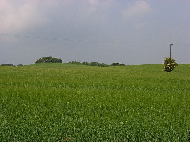
Image: © Andrew Smith Taken: 10 Jun 2007
Just off the A30, on the dip slope of Stockbridge Down. The hillock is the one with an altitude of 149 metres east of Woolbury hill-fort. An elder is in bloom.
Images are licensed for reuse under creativecommons.org/licenses/by-sa/2.0
Image Location


Leaflet Map data © OpenStreetMap
Latitude
51.120192
Longitude
-1.449871