The A2 at The Rock
Introduction
The photograph on this page of The A2 at The Rock by Eric Jones as part of the Geograph project.
The Geograph project started in 2005 with the aim of publishing, organising and preserving representative images for every square kilometre of Great Britain, Ireland and the Isle of Man.

There are currently over 7.5m images from over 14,400 individuals and you can help contribute to the project by visiting https://www.geograph.org.uk
The A2 at The Rock
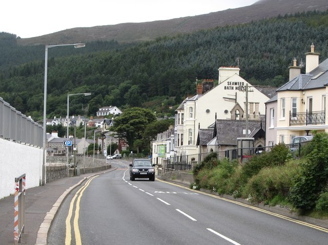
Image: © Eric Jones Taken: 8 Sep 2015
This short section of road at The Rock dates from the 1930s and replaced the old road, seen on the right, which climbed over The Rock. The course of the new road had to be blasted from the rock.
Images are licensed for reuse under creativecommons.org/licenses/by-sa/2.0
Image Location
Latitude
54.203463
Longitude
-5.891884