Shops & old Level Crossing gates, Belvoir Road, Coalville
Introduction
The photograph on this page of Shops & old Level Crossing gates, Belvoir Road, Coalville by SK53 as part of the Geograph project.
The Geograph project started in 2005 with the aim of publishing, organising and preserving representative images for every square kilometre of Great Britain, Ireland and the Isle of Man.

There are currently over 7.5m images from over 14,400 individuals and you can help contribute to the project by visiting https://www.geograph.org.uk
Shops & old Level Crossing gates, Belvoir Road, Coalville
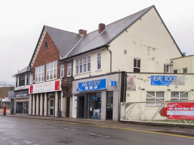
Image: © SK53 Taken: 30 Aug 2015
The railway line which formerly crossed this road was a spur mineral line serving Snibston Colliery. A cycletrack leads along the former rail route behind the gate in the image. On the other side of the road the gates enclose a patio dining area for an italian restaurant.
Images are licensed for reuse under creativecommons.org/licenses/by-sa/2.0
Image Location
Latitude
52.724336
Longitude
-1.374242