Fields at Errol Park
Introduction
The photograph on this page of Fields at Errol Park by M J Richardson as part of the Geograph project.
The Geograph project started in 2005 with the aim of publishing, organising and preserving representative images for every square kilometre of Great Britain, Ireland and the Isle of Man.

There are currently over 7.5m images from over 14,400 individuals and you can help contribute to the project by visiting https://www.geograph.org.uk
Fields at Errol Park
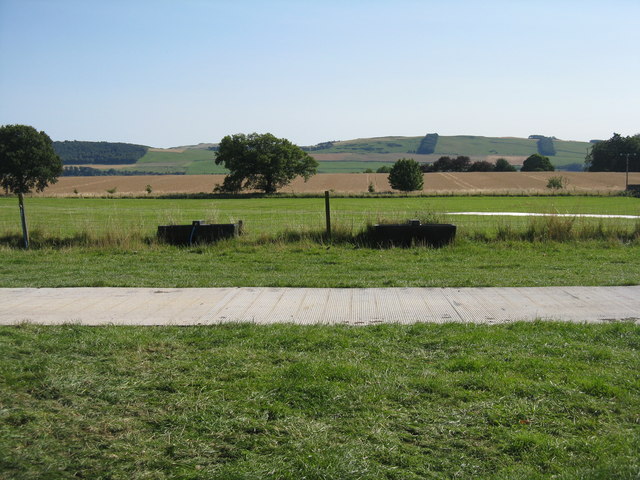
Image: © M J Richardson Taken: 6 Sep 2015
The edge of the polo playing area, and adjacent grass field. Beyond are a stubble field and in the distance farmland and shelter belts across the River Tay.
Images are licensed for reuse under creativecommons.org/licenses/by-sa/2.0
Image Location
Latitude
56.38698
Longitude
-3.236552