Lawrie Lane, Lindfield
Introduction
The photograph on this page of Lawrie Lane, Lindfield by Simon Carey as part of the Geograph project.
The Geograph project started in 2005 with the aim of publishing, organising and preserving representative images for every square kilometre of Great Britain, Ireland and the Isle of Man.

There are currently over 7.5m images from over 14,400 individuals and you can help contribute to the project by visiting https://www.geograph.org.uk
Lawrie Lane, Lindfield
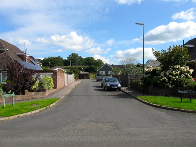
Image: © Simon Carey Taken: 6 Sep 2015
Small cul de sac off Image built in the mid 1960s on a former field called Shoulder of Mutton Field according to Lindfield's 1845 tithe map.
Images are licensed for reuse under creativecommons.org/licenses/by-sa/2.0
Image Location
Latitude
51.003576
Longitude
-0.080861