Lindfield Medical Centre, High Street, Lindfield
Introduction
The photograph on this page of Lindfield Medical Centre, High Street, Lindfield by Simon Carey as part of the Geograph project.
The Geograph project started in 2005 with the aim of publishing, organising and preserving representative images for every square kilometre of Great Britain, Ireland and the Isle of Man.

There are currently over 7.5m images from over 14,400 individuals and you can help contribute to the project by visiting https://www.geograph.org.uk
Lindfield Medical Centre, High Street, Lindfield
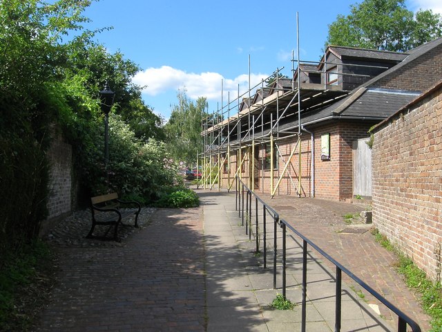
Image: © Simon Carey Taken: 6 Sep 2015
Located on a path between Image and Image the surgery was built in the early 1970s on the site of a former factory. This had been opened in the 1840 by members of the Durrant family, see Image, to manufacture pianofortes. The factory closed in 1886 transferring its business to Rugby with the building soon being used as the local assembly rooms until replaced by Image in 1911. The factory was revived during the 1950s manufacturing skirts until that too closed at the end of the 1960s with the building demolished and its grounds becoming the Tollgate's car park.
Images are licensed for reuse under creativecommons.org/licenses/by-sa/2.0
Image Location
Latitude
51.012944
Longitude
-0.081758