Turweston Airfield
Introduction
The photograph on this page of Turweston Airfield by Duncan Lilly as part of the Geograph project.
The Geograph project started in 2005 with the aim of publishing, organising and preserving representative images for every square kilometre of Great Britain, Ireland and the Isle of Man.

There are currently over 7.5m images from over 14,400 individuals and you can help contribute to the project by visiting https://www.geograph.org.uk
Turweston Airfield
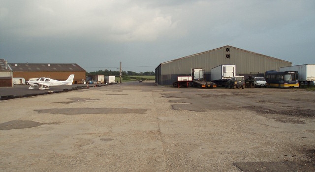
Image: © Duncan Lilly Taken: 12 Jun 2007
This used to be one of three runways. The footpath along it nominally runs right through the centre of the large shed on the right!
Images are licensed for reuse under creativecommons.org/licenses/by-sa/2.0
Image Location
Latitude
52.038344
Longitude
-1.105201