Field by the B3151
Introduction
The photograph on this page of Field by the B3151 by Derek Harper as part of the Geograph project.
The Geograph project started in 2005 with the aim of publishing, organising and preserving representative images for every square kilometre of Great Britain, Ireland and the Isle of Man.

There are currently over 7.5m images from over 14,400 individuals and you can help contribute to the project by visiting https://www.geograph.org.uk
Field by the B3151
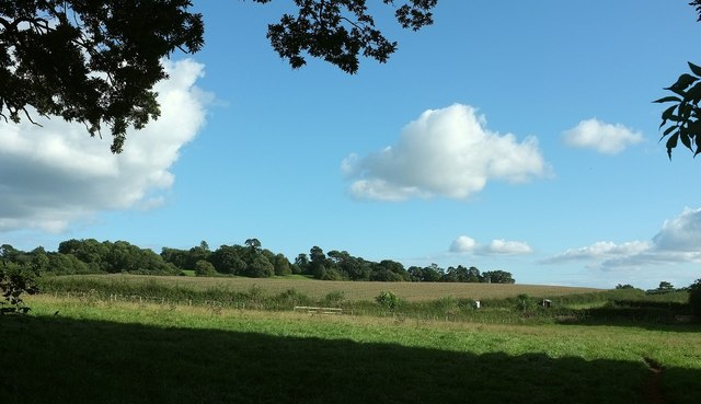
Image: © Derek Harper Taken: 2 Sep 2015
On the other side from Image] of the line of trees along which the route with public access runs. You can make out a signpost and a bus shelter right of centre on the B3151. These are by the T junction with the road past Killerton, which runs along the right side of the field.
Images are licensed for reuse under creativecommons.org/licenses/by-sa/2.0
Image Location
Latitude
50.78792
Longitude
-3.444133