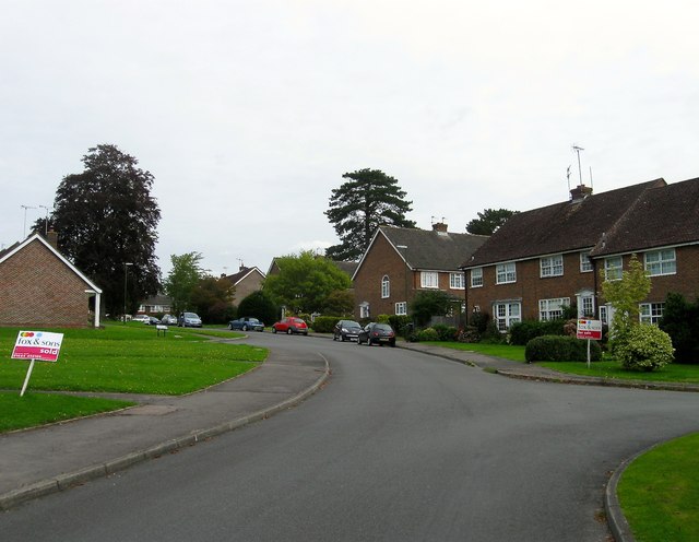
The Welkin, Lindfield
Introduction
The photograph on this page of The Welkin, Lindfield by Simon Carey as part of the Geograph project.
The Geograph project started in 2005 with the aim of publishing, organising and preserving representative images for every square kilometre of Great Britain, Ireland and the Isle of Man.
There are currently over 7.5m images from over 14,400 individuals and you can help contribute to the project by visiting https://www.geograph.org.uk

Image: © Simon Carey Taken: 6 Sep 2015
An estate built in the 1960s on the site of a large Victorian house and its grounds of the same name. The original plans were for a set of high rise flats which resulted in a fierce battle with local residents leading to the formation of a local preservation society. The latter were victorious and had a hand in the design of the new estate which ironically housed more people than the proposed flats. The original Welkin had been developed by a former vicar and for a time was used as vicarage before becoming first a private residence and later a private boarding school.

