The Vicarage, High Street, Lindfield
Introduction
The photograph on this page of The Vicarage, High Street, Lindfield by Simon Carey as part of the Geograph project.
The Geograph project started in 2005 with the aim of publishing, organising and preserving representative images for every square kilometre of Great Britain, Ireland and the Isle of Man.

There are currently over 7.5m images from over 14,400 individuals and you can help contribute to the project by visiting https://www.geograph.org.uk
The Vicarage, High Street, Lindfield
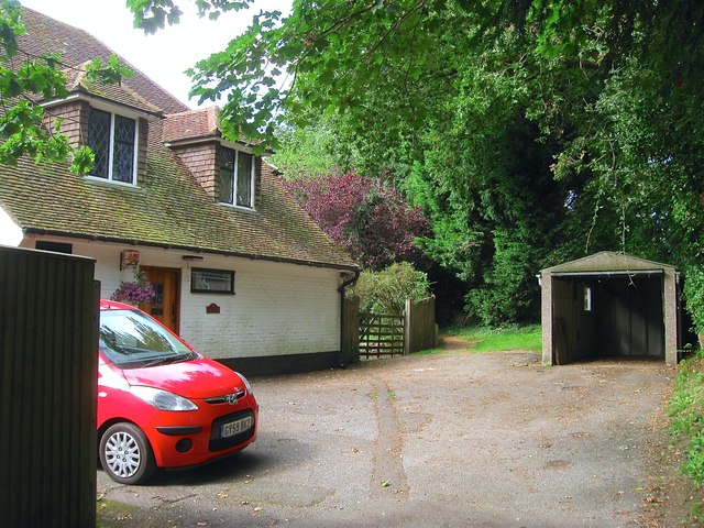
Image: © Simon Carey Taken: 6 Sep 2015
Built in the late Victorian period and acquired by the church for its current use in 1939. Located off a long drive which is also a public footpath, see Image With the footpath continuing on towards Image where it follows another drive to Hickman's Lane.
Images are licensed for reuse under creativecommons.org/licenses/by-sa/2.0
Image Location
Latitude
51.015974
Longitude
-0.080064