Duke Barn Mews, Lindfield
Introduction
The photograph on this page of Duke Barn Mews, Lindfield by Simon Carey as part of the Geograph project.
The Geograph project started in 2005 with the aim of publishing, organising and preserving representative images for every square kilometre of Great Britain, Ireland and the Isle of Man.

There are currently over 7.5m images from over 14,400 individuals and you can help contribute to the project by visiting https://www.geograph.org.uk
Duke Barn Mews, Lindfield
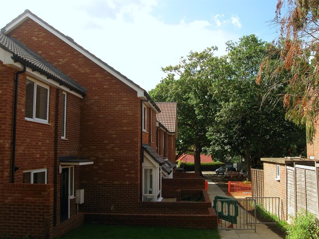
Image: © Simon Carey Taken: 6 Sep 2015
New houses nearing completion on the footpath that links Chaloner's Road to Alma Road. Part of a development erected on the former Dukes Barn Court, itself built in 1975 as retirement flats, that includes seven houses and a smaller block of flats that retains the original name, see Image Prior to the retirement flats this was indeed the site of Dukes Barn which survived into the 1950s.
Images are licensed for reuse under creativecommons.org/licenses/by-sa/2.0
Image Location
Latitude
51.012447
Longitude
-0.078927