Wheat field north of Hemel Hempstead
Introduction
The photograph on this page of Wheat field north of Hemel Hempstead by Robin Webster as part of the Geograph project.
The Geograph project started in 2005 with the aim of publishing, organising and preserving representative images for every square kilometre of Great Britain, Ireland and the Isle of Man.

There are currently over 7.5m images from over 14,400 individuals and you can help contribute to the project by visiting https://www.geograph.org.uk
Wheat field north of Hemel Hempstead
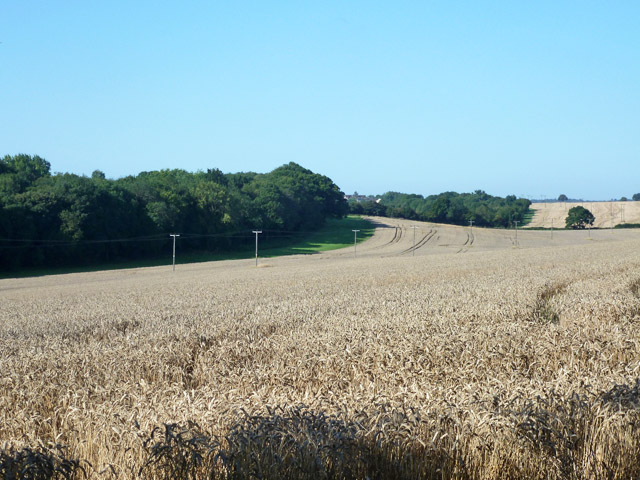
Image: © Robin Webster Taken: 6 Sep 2015
The apparent wood on the left is just a belt along a bridleway, behind which is hidden the northern extremity of the Hemel Hempstead built-up area.
Images are licensed for reuse under creativecommons.org/licenses/by-sa/2.0
Image Location
Latitude
51.78277
Longitude
-0.444048