Pond near Dropshort Farm
Introduction
The photograph on this page of Pond near Dropshort Farm by Duncan Lilly as part of the Geograph project.
The Geograph project started in 2005 with the aim of publishing, organising and preserving representative images for every square kilometre of Great Britain, Ireland and the Isle of Man.

There are currently over 7.5m images from over 14,400 individuals and you can help contribute to the project by visiting https://www.geograph.org.uk
Pond near Dropshort Farm
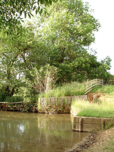
Image: © Duncan Lilly Taken: 12 Jun 2007
The land slopes down here to allow the sheep to access to pool. There are two shored tiers on the western side. "MrsNLewis" has corrected my original entry: This is not a pond but a man-made water splash for horses. There used to be a cross country course at the farm and this was part of it. The sheep do not need a water source as there is a trough in the field. The water splash is served by the stream that runs through it.
Images are licensed for reuse under creativecommons.org/licenses/by-sa/2.0
Image Location
Latitude
52.051535
Longitude
-1.090135