Path between Carmunnock and Castlemilk
Introduction
The photograph on this page of Path between Carmunnock and Castlemilk by Alec MacKinnon as part of the Geograph project.
The Geograph project started in 2005 with the aim of publishing, organising and preserving representative images for every square kilometre of Great Britain, Ireland and the Isle of Man.

There are currently over 7.5m images from over 14,400 individuals and you can help contribute to the project by visiting https://www.geograph.org.uk
Path between Carmunnock and Castlemilk
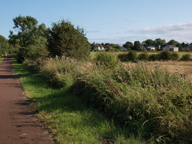
Image: © Alec MacKinnon Taken: 6 Sep 2015
The path is shown as one proceeds towards the village of Carmunnock from Castlemilk housing estate. Some Carmunnock houses can be seen across the fields to the right.
Images are licensed for reuse under creativecommons.org/licenses/by-sa/2.0
Image Location
Latitude
55.795445
Longitude
-4.237232