Dulverton: River Barle
Introduction
The photograph on this page of Dulverton: River Barle by Martin Bodman as part of the Geograph project.
The Geograph project started in 2005 with the aim of publishing, organising and preserving representative images for every square kilometre of Great Britain, Ireland and the Isle of Man.

There are currently over 7.5m images from over 14,400 individuals and you can help contribute to the project by visiting https://www.geograph.org.uk
Dulverton: River Barle
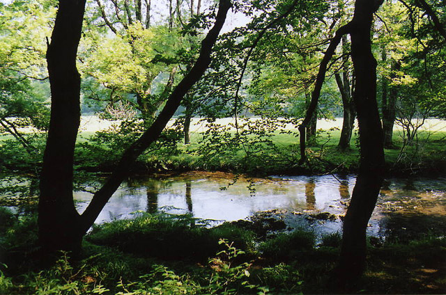
Image: © Martin Bodman Taken: 7 Aug 2003
Seen from the footpath above Marsh Bridge, which runs through woods to Hawkridge and Tarr Steps
Images are licensed for reuse under creativecommons.org/licenses/by-sa/2.0
Image Location


Leaflet Map data © OpenStreetMap
Latitude
51.045382
Longitude
-3.5634