Cycle path to York station
Introduction
The photograph on this page of Cycle path to York station by Stephen Craven as part of the Geograph project.
The Geograph project started in 2005 with the aim of publishing, organising and preserving representative images for every square kilometre of Great Britain, Ireland and the Isle of Man.

There are currently over 7.5m images from over 14,400 individuals and you can help contribute to the project by visiting https://www.geograph.org.uk
Cycle path to York station
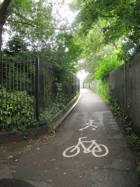
Image: © Stephen Craven Taken: 31 Aug 2015
This path has, I think, only been opened in recent years, and links the riverside walk directly to the station service road where cycle racks are located.
Images are licensed for reuse under creativecommons.org/licenses/by-sa/2.0
Image Location
Latitude
53.960748
Longitude
-1.092817